Look higher, look farther
Get a new perspective with aerial photography.
At AirVue Aerials, we delivery exceptional aerial photography that delights our clients through technical excellence and creative vision.
Looking to elevate your project with stunning aerial visuals? AirVue Aerials offers professional drone photography and videography services tailored for real estate listings, events and outdoor gatherings, and technical applications such as photogrammetry and site mapping. Whether you need unedited drone photos or fully edited, ready-to-use media, AirVue Aerials delivers high-resolution content with fast turnaround and flexible service packages. Capture the full picture - from every angle.
We combine expertise with a friendly, professional approach ensuring a seamless experience while also educating clients on key regulations and best practices. This means you get not only exceptional visuals but also confidence in a compliant and hassle-free process.
Capture Attention. Sell Smarter.
In today’s fast-paced real estate market, first impressions matter more than ever. Our aerial photography service helps realtors showcase properties with stunning, high-resolution images captured from above. These photos provide a unique perspective that ground-level shots simply can’t match—highlighting property features, lot size, neighborhood appeal, and proximity to amenities.
Whether it’s a sprawling estate or a cozy home, aerial imagery adds depth and context that builds buyer confidence and accelerates decision-making. Stand out in listings, attract more qualified leads, and close deals faster with the power of aerial visuals.
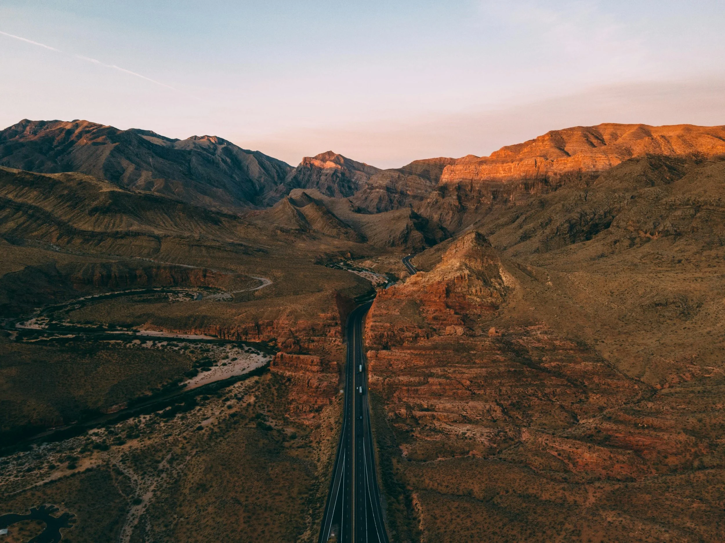
Elevated Views of Natural Beauty.
There’s something truly powerful about seeing the world from above. Our landscape photography service captures that magic—offering breathtaking aerial views of parks, coastlines, rural spaces, and more. Whether for promotional materials, artwork, or conservation efforts, our drone-captured visuals are crafted to inspire and inform.
We approach each project with a creative eye and technical precision, ensuring that every shot tells a story and evokes emotion. Share the beauty of your land from a whole new perspective.
Precision Mapping from the Sky.
Our photogrammetry service transforms drone imagery into accurate, measurable maps and 3D models. Ideal for construction, land surveying, agriculture, and environmental planning, we deliver high-resolution geospatial data that enhances planning, monitoring, and decision-making.
By using state-of-the-art drone technology and processing tools, we capture detailed visual data efficiently—saving time and reducing costs compared to traditional methods. Whether you’re mapping terrain or tracking site progress, our photogrammetry service provides the insights you need with clarity and confidence.
Contact Us
Interested in working together? Have some questions? Please fill out some info and we will be in touch shortly. We can’t wait to hear from you!
AirVue Aerials… Look higher, look farther!